Our Services
Expertise in Every Depth
From coastal mapping to deep-sea exploration, our services are tailored to provide precise, actionable data for a wide range of applications.
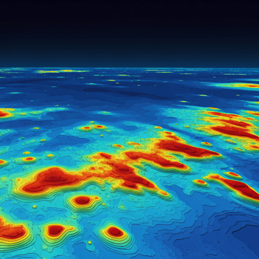
Hydrographic Surveys
Utilizing advanced multibeam and single-beam sonar systems to map seabed topography with millimetric precision for navigational safety and infrastructure planning.
Education & Training
Comprehensive training programs covering hydrographic survey techniques, data processing, and industry best practices for professionals at all levels.
Subsea Positioning
Precision USBL and LBL acoustic positioning for subsea templates, pipelines, and ROV operations.
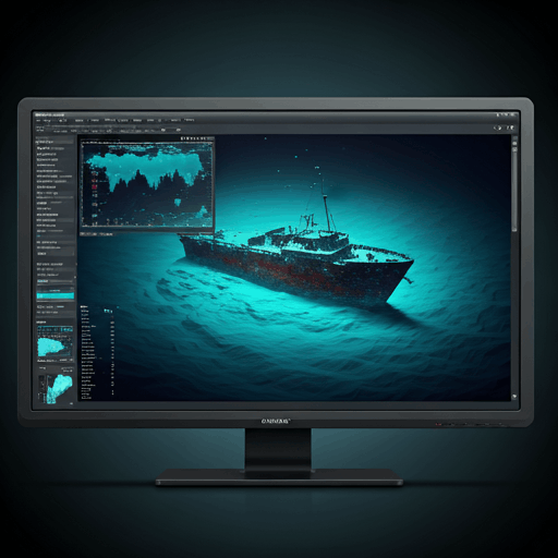
Precision Equipment & Global Standards
Our fleet is equipped with the latest Kongsberg and Teledyne Marine systems, operating to IHO S-44 Order 1a standards. We don't just collect data; we ensure its integrity.
- Multibeam Echo SoundersKongsberg EM 2040 and Teledyne SeaBat T50 for high-resolution seabed mapping.h
- Sub-bottom ProfilersTeledyne Chirp III for detailed sediment layer analysis.
- Positioning SystemsApplanix POS MV and IXSEA Octans for centimeter-level accuracy in dynamic environments.
Software Solutions
Data integrity is the cornerstone of our operations. We utilize industry-leading software like QPS Qimera and EIVA NaviEdit for data processing, ensuring that our clients receive actionable insights from every survey.
- Qinsy
- Eiva NaviPac
- Acoustic Positioning Operator Station (APOS)
- AutoCAD
- Autodesk
- MS Office
- Datalog Express
- C-Setup 7.1
- SVP-Manager
- Total tide
Ready to Dive Deeper?
Contact us today to discuss how our hydrographic survey services can meet your project's unique needs and challenges.