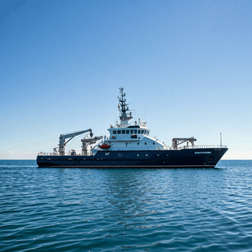
Hydrographic Surveying: High-Resolution Seabed Intelligence
Utilizing state-of-the-art multibeam echosounders to deliver centimetre-perfect bathymetric data for navigational safety and environmental monitoring.
Technical Capabilities
Advanced subsea acoustics and geophysical sensors integrated for comprehensive environment mapping.
01
Multi-beam Bathymetry
Full-swathe seabed mapping providing 100% coverage of the seafloor for precise depth visualization and obstacle detection.
02
SSS Imaging
Side Scan Sonar for photo-realistic seabed imagery and target identification.
03
Magnetometry
Detecting ferrous anomalies and subsea infrastructure buried under sediment.
Sound Velocity Profiling
Critical data correction using sound speed profiles through the water column to ensure geometric accuracy in multibeam data processing.

Ready for Precision Data?
Connect with our technical team to discuss your project requirements and receive a detailed survey proposal within 48 hours.