Precision Hydrographics
Precision at Every Depth.
Expert Hydrographic Surveying & Subsea Positioning Solutions powered by decades of offshore experience.

Our Expertise
We provide specialized subsea intelligence through high-resolution data acquisition and rigorous analytical modeling.
Hydrographic Surveying
Utilizing state-of-the-art multibeam echosounders to deliver bathymetric data for navigational safety and environmental monitoring.
Subsea Installations
Acoustic positioning and ROV support for critical subsea infrastructure deployment and umbilical installations.
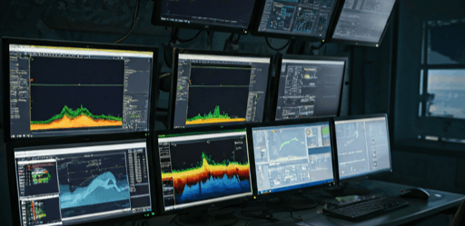
Real-time LBL Positioning
Metrology & Alignment
Geophysical Sites
Comprehensive seabed characterization using side-scan sonar, sub-bottom profiling, and magnetometer surveys for offshore wind and oil & gas developments.
The JC Brooks Advantage
We provide more than just data. Our approach blends technical excellence with a human-centric service model that prioritizes your project goals as our own.
- Technical AuthorityDecades of navigating the most complex offshore environments across the globe, bringing unmatched expertise to every site.
- High PrecisionRigorous calibration and redundant systems ensure that our data is the best baseline for engineering decisions.
- Humane PartnershipTransparent communication and responsive support. We work as an extension of your core project team, not just a vendor.

Ready to Map the Unknown?
Contact our specialist team today to discuss your project requirements and receive a detailed technical proposal.